Spokane River Watersheds
Watershed Planning & Implementation for WRIAs 54, 55, 56, & 57
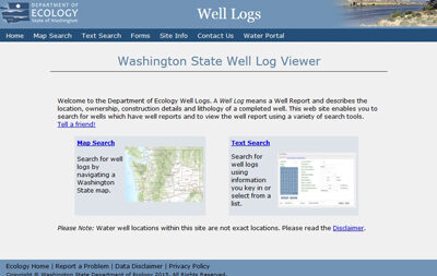
WRIA 56 Data-Well Logs
 WRIA 56 Web Mapping Application
Well log data available in the WRIA 54 data portal include wells utilized for studies conducted in the West Plains and Chamokane Creek Basin. Clicking on an individual well will display the geologic formation that the well is interpreted to be completed in, and a "more info" link that displays the well log on file with the Washington Department of Ecology.